

Join
Programs
About
.png)

The Halifax Port Pilot Project and local marine authorities leverage the International Hydrographic Organization's (IHO) S-100 universal maritime data model. This framework provides highly precise, real-time data integration—such as high-resolution bathymetry (S-102) and dynamic water level (S-104) and current (S-111) layers—directly into Electronic Chart Display and Information Systems.
Open Standard: The S-100 universal hydrographic data framework, developed by the International Hydrographic Organization (IHO), is an open standard. The underlying specification and data structures are publicly accessible, and agencies frequently release select datasets as open data for testing and research purposes.
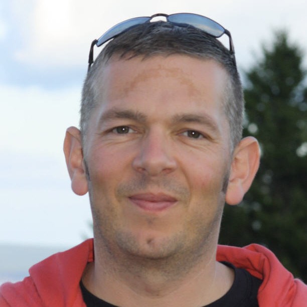
Andy has 27 years of experience working in hydrographic and geospatial industry and leads the CARIS business unit for Teledyne Geospatial, based in Fredericton New Brunswick.
The Halifax Port Pilot Project and local marine authorities leverage the International Hydrographic Organization's (IHO) S-100 universal maritime data model. This framework provides highly precise, real-time data integration—such as high-resolution bathymetry (S-102) and dynamic water level (S-104) and current (S-111) layers—directly into Electronic Chart Display and Information Systems.
Open Standard: The S-100 universal hydrographic data framework, developed by the International Hydrographic Organization (IHO), is an open standard. The underlying specification and data structures are publicly accessible, and agencies frequently release select datasets as open data for testing and research purposes.


